
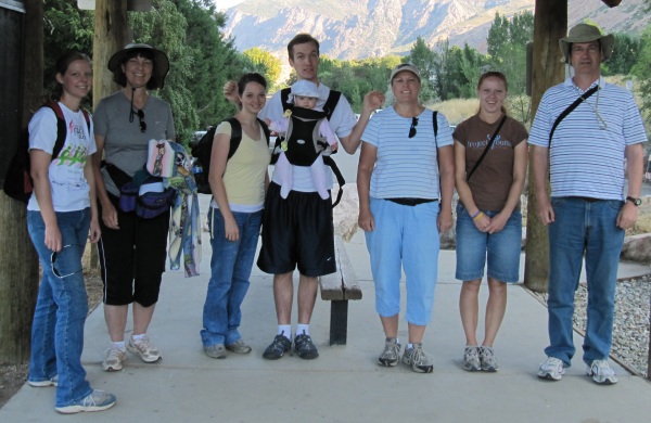
Shepard Creek Trail - Susan, Shauna, and Jill
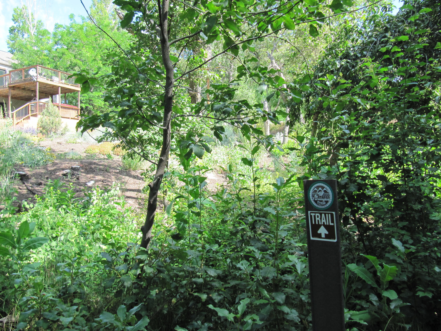
Yesterday Susan, Shauna, Jill and I hiked Shepard Creek Trail. Shepard Creek Trail winds out of several residential areas in Somerset and Shepard Heights and up a canyon. To get to the trail, from Main Street go east toward the mountains on 1400 North one block. Look for a dirt road to the north and park along 1400 North. Step over the pedestrian gate.

Shepard Creek
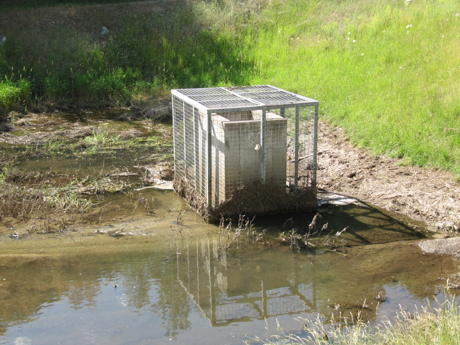
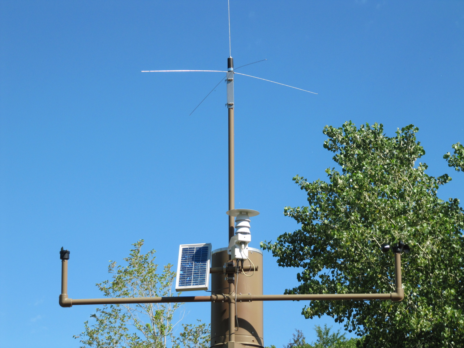
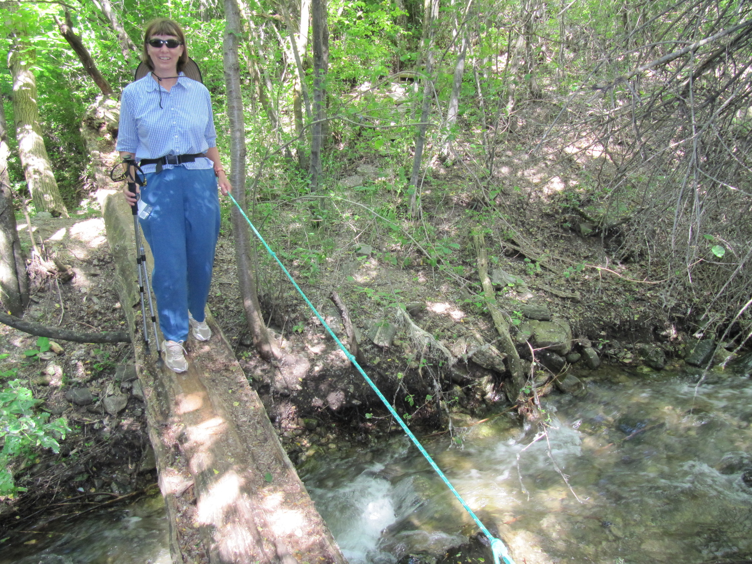
Walk north up the dirt road. This is part of the old Bamberger Railroad right of way. As you come to a large open area, cross near a stone culvert, past the weather station, to the far side of Shepard Creek. The trail parallels the creek winding through trees and crossing two bridges. The first bridge is a large log with a rope as a handrail. Turn left and follow the trail beside the stream.

The trail was steep in places
When you come to some wooden steps, go straight across and continue paralleling the stream until you reach another set of wooden steps. Turn left and cross the second bridge. Follow the trail again paralleling the stream. You will pass some houses. If you take a wrong turn you could end up in someone’s kitchen. So watch for the trail markers.

Flowers along the trail
Keep bearing to the right and eventually you will rise up a short hill to an intersection where there is a bench. The Somerset section of the trail continues on from here.
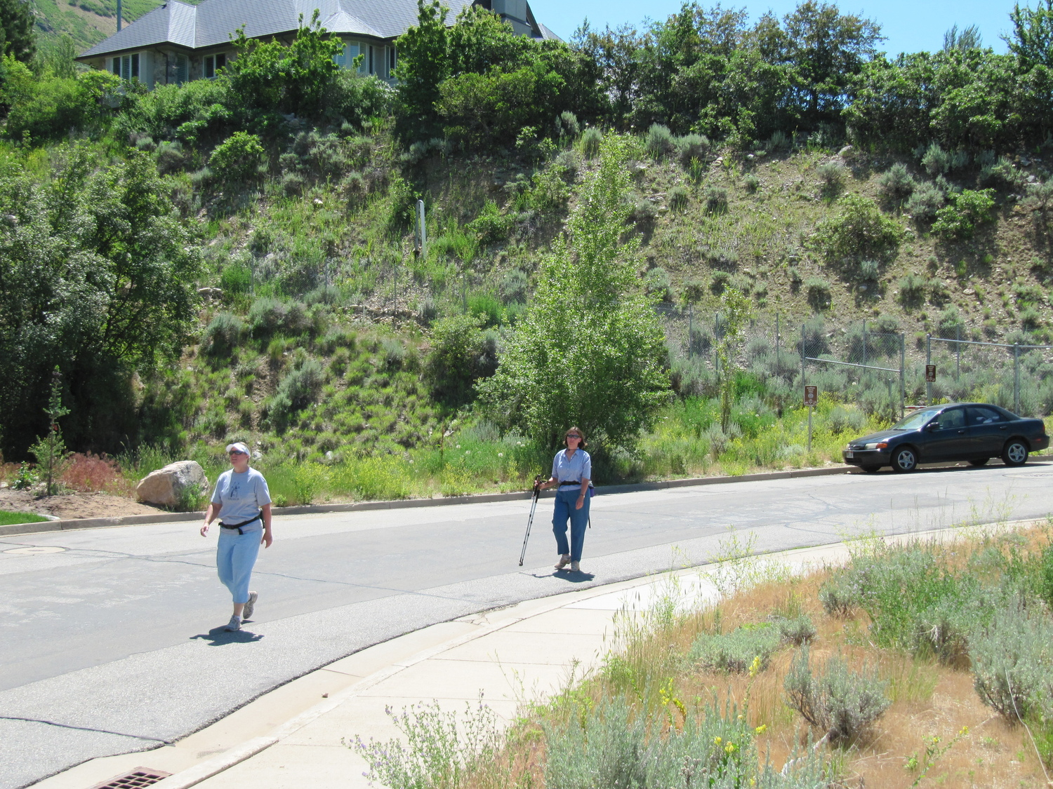
In 10 or 20 minutes, the trail will come out on Bella Vista Drive. Look up the canyon over your right shoulder to see the break in the chain link fence where the trail continues.
Hike up the dirt road about 200 feet and watch for the trail to cut up the slope to the right. Continue up the trail beyond the chain link fence and hike straight up the dirt road until it “T’s”.
Go left at the “T” and follow this dirt road. After 75 to 100 feet, keep an eye to the right of the road for a faint footpath. Follow the footpath up a ways where it turns to the south. Notice that there is a footpath that travels east up and over a rock outcropping. Another trail goes south from here to Farmington Canyon.
It was a hot day but most of the first part of the trail was shaded. Once out in the open one could feel the sun. Occasionally there was a gentle breeze which felt really good.
We didn’t get to the end of the trail. A hiker on his return trip said it was very steep further up the trail. We weren’t equipped with hiking boots so we eventually turned back after admiring the view.

There were several benches along the trail

Further up the trail

Jill on the trail

Shauna with a view of the valley behin her

Jill with the Kaysville LDS granary in the distance

Utah's state flower, the sego lily, by the side of the trail

Shauna and flowers

FAA long-range radar site atop Francis Peak

Jill, Shauna, and Susan make the return trip

On our return, this little waterfall cooled the air while we rested


 and Connie on the trail")


