
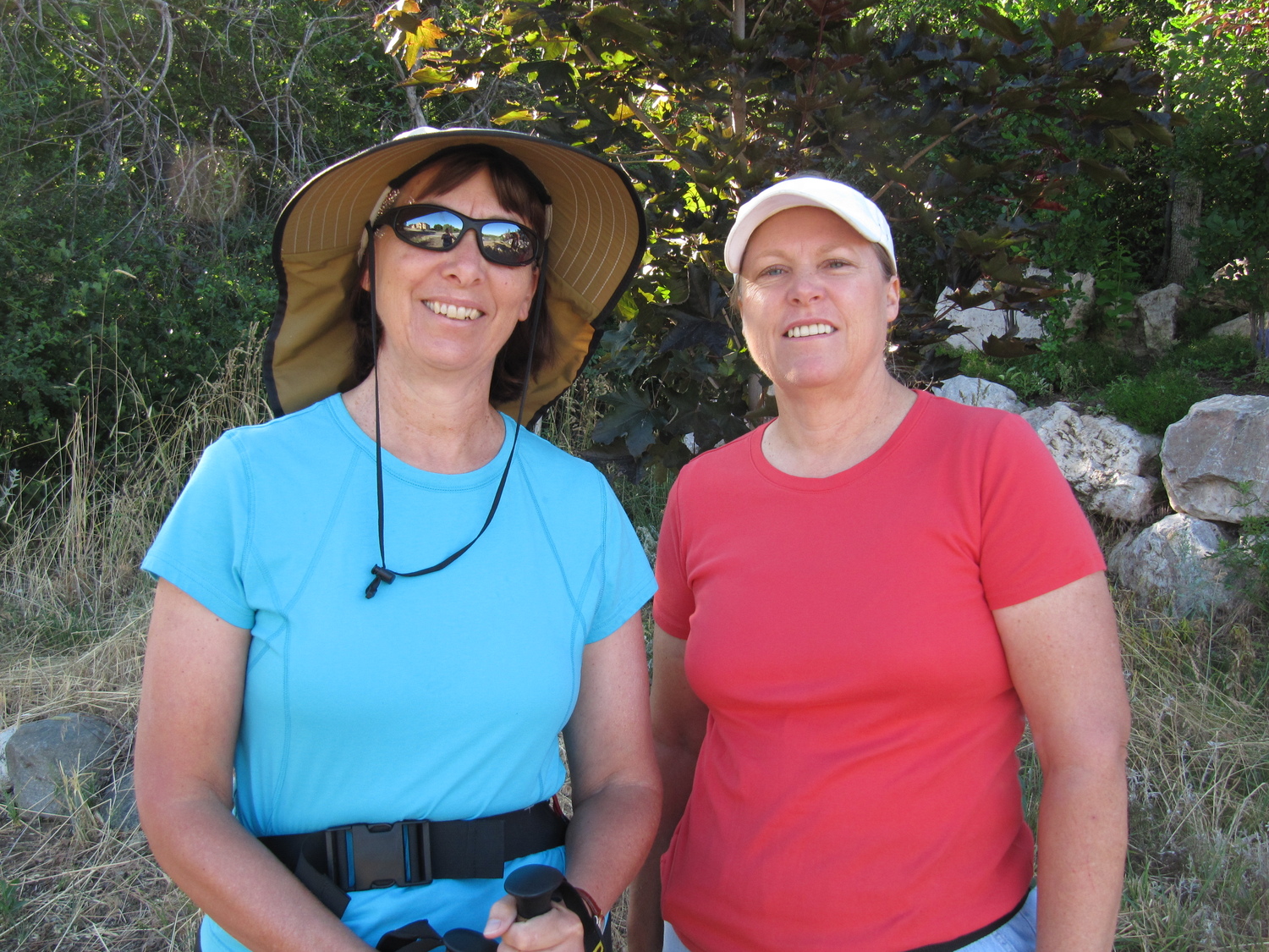
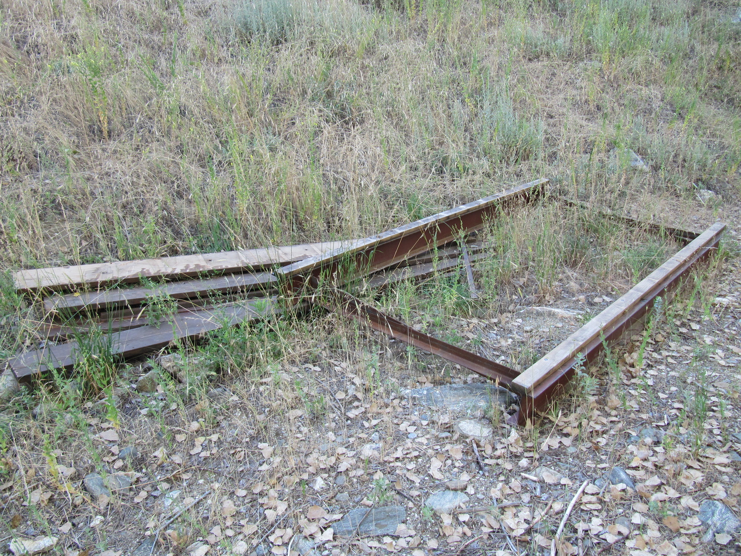
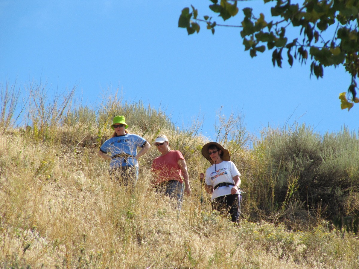
Susan and Jill check out the destroyed bridge
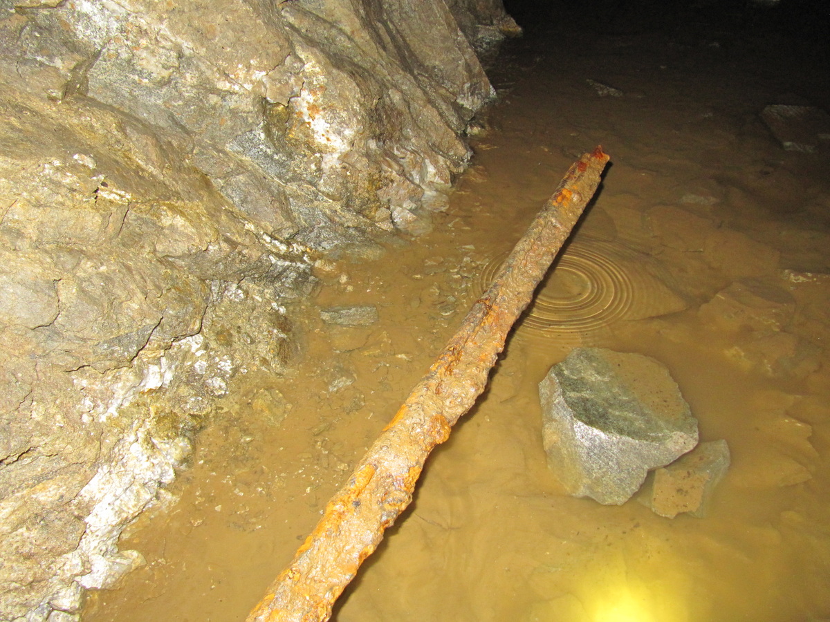
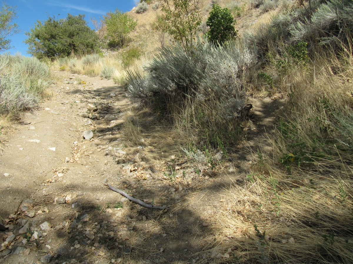
Last Saturday I ventured up Ford Canyon with Jill and Susan. The bridges were washed out so I fished a plank out of the water and we used that to cross Ricks Creek. We were not very far from civilization but it seemed like it as we got stuck in the undergrowth. We followed a trail upward but when it ended we had to descend to the creek again. Jill and Susan checked out the north side of the canyon but could go no further.

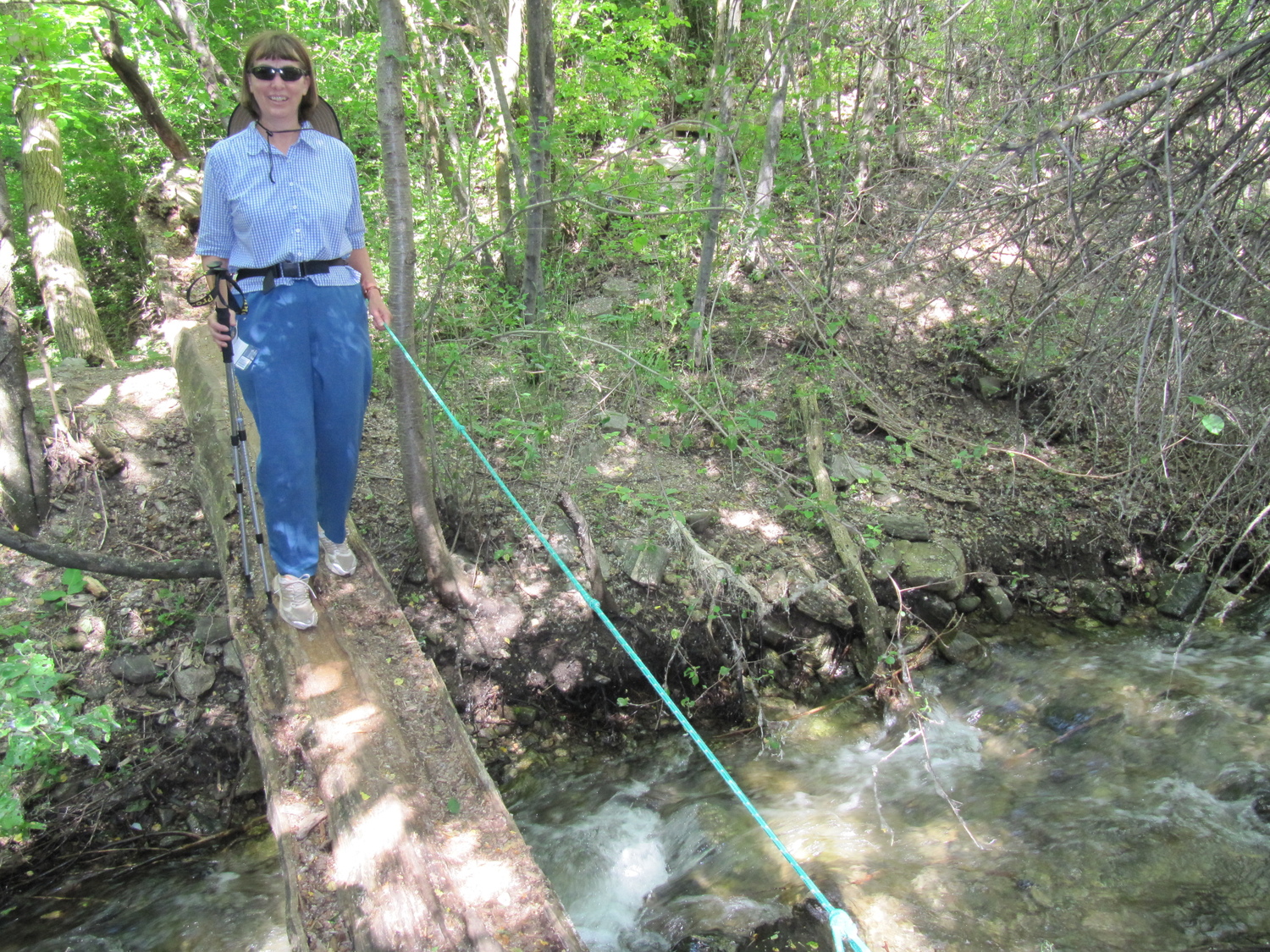
Susan crossing Ricks creek
I investigated the south side but could find no trail through. Jill and Susan returned to where I was climbing back up from the creek. We gave up and went back to our car and drove to Firebreak Road.

Rick climbing back up to the trail. Photo by Susan Ward
I tracked this aborted attempt to find the trail in Ford Canyon using Google My Tracks (shut down 1 May 2016 by Google). My Tracks is was an application for your Android phone that enabled you to record GPS tracks and view live statistics such as time, speed, distance, and elevation while hiking.

Ford Canyon trail recorded using Google My Tracks
Here are some of the metrics that My Tracks recorded:
Total Distance: 1.15 km (0.7 mi)
Total Time: 44:13
Moving Time: 15:03
Average Speed: 1.56 km/h (1.0 mi/h)
Average Moving Speed: 4.59 km/h (2.9 mi/h)
Max Speed: 8.49 km/h (5.3 mi/h)
Min Elevation: 1324 m (4344 ft)
Max Elevation: 1380 m (4529 ft)
Elevation Gain: 88 m (287 ft)
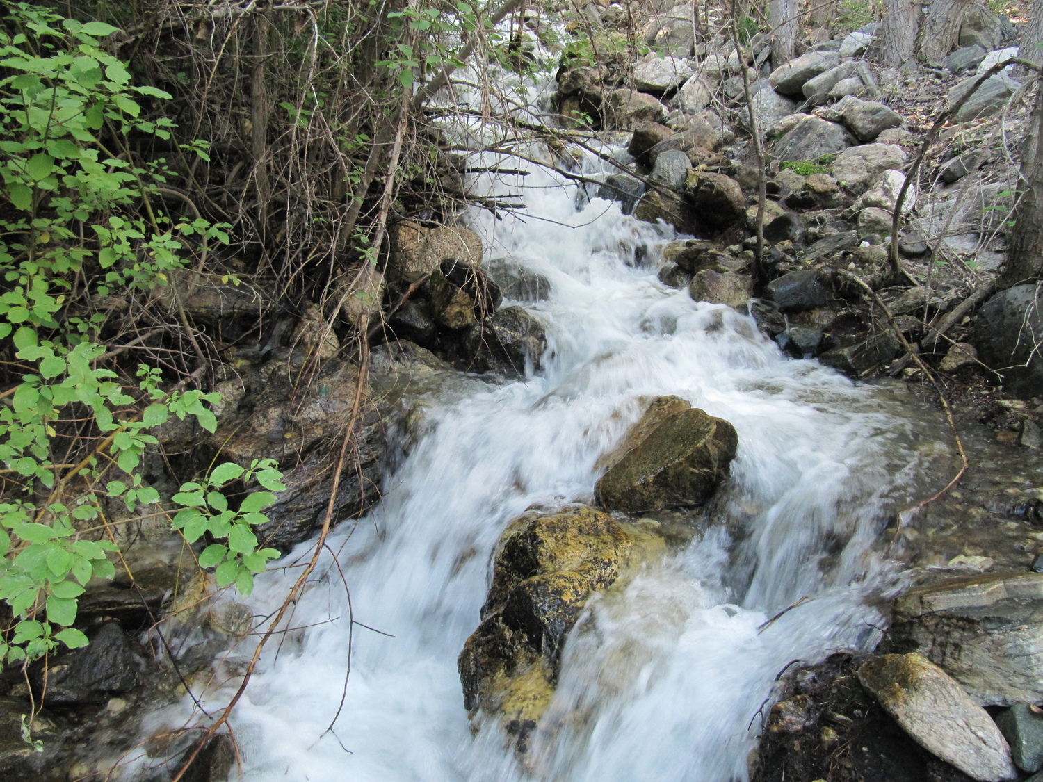
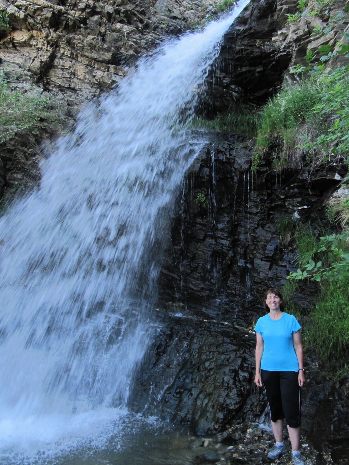
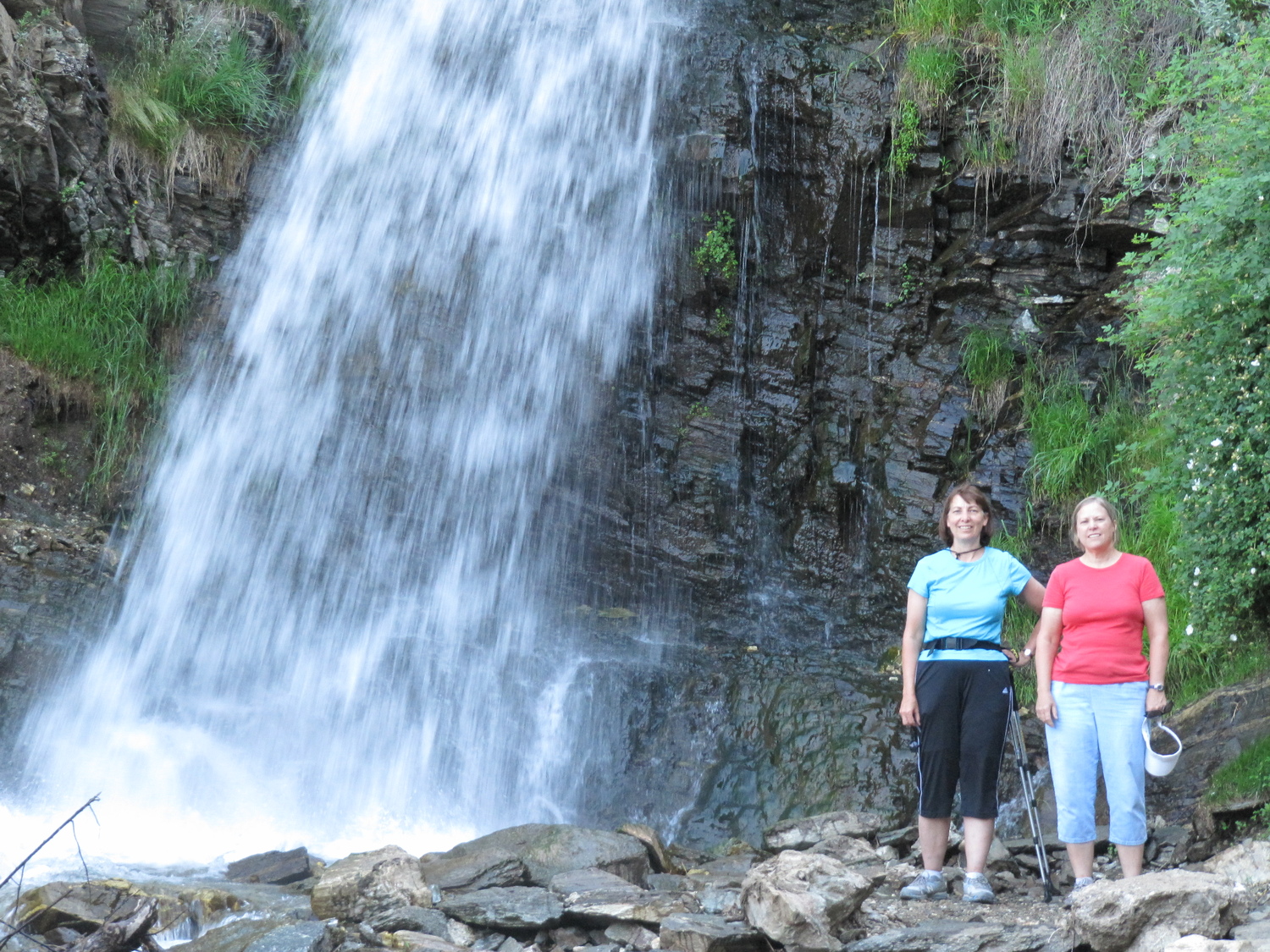
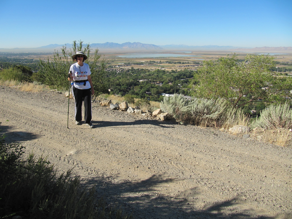
From Firebreak Road there was a short trail that took us to Ford Canyon waterfall. Once we got to the waterfall we all had to pose by it, like it was the eighth wonder of the world. I even took a video of the waterfall, it is at the end of the post.

Jill on the trail to the waterfall

First view of the waterfall

Rick by the waterfall

Jill by the waterfall

Susan by the waterfall

Antelope Island from Firebreak Road


