• Blog
  • LDS
    • Canada
    • Japan
    • U.K.
    • U.S.
    • World
    • Politicians
  • Site
    • About
    • Archive
    • Best of Rickety
    • Comments Policy
    • Copyright
    • FAQ
    • Feedback
    • Guests
    • Privacy Policy
    • Technical
    • Why Blog?
  • Sundry
    • Comics
    • HyperCheese Help
    • JFHE
    • Projects
      • Book of Mormon
    • Wishful Thinking

Rickety

Mostly about Utah

  • Family
    • Jill
    • Rick
    • Children
      • Daniel
      • Jake
      • Paul
      • Sarah
      • Steven
    • Children’s Spouses
      • Adelaide
      • Derek
      • Megan
      • Rachel
      • Shelese
    • Grandchildren
      • Aurora
      • Benjamin
      • Bryson
      • Caleb
      • Calvin
      • Cassandra
      • Elizabeth
      • Ezra
      • Helen
      • Jameson
      • Ryan
      • Sadie
  • Finance
    • Bank Rewards Checking
    • Credit Union Rewards Checking
    • Debt
    • Employment
    • Money
    • Rewards Checking Posts
  • Government
    • City
    • Elections
    • Federal
    • Military
    • Paul on Politics
    • Politics
    • States
    • Taxes
  • Recreation
    • Competition
    • Food
    • Fun in Utah
    • Games
    • Music
    • Parade
    • Sports
    • Travel
  • Religion
    • Christmas
    • Family History
    • Jesus Christ
    • LDS
    • Marriage
    • Missionary
    • On Religion
    • Preparedness
    • Scriptures
    • Temple
  • Series
    • 100 Years Ago
    • Christmas Letter
    • Epic Excerpts
    • On Religion
    • Past Pictures
    • Daniel’s Mission
    • Jake’s Mission
    • Paul’s Mission
  • Technology
    • Applications
    • Blogging
    • Communication
    • Computer
    • Energy
    • Environment
    • How To
    • Photography
    • Population
    • Transportation

10 Beautiful Chinese Landscape Photographs

October 3, 2010 by rickety 6 Comments

China is an ancient civilization extending over a large area in East Asia. China has the longest continuous history of any country in the world. Prior to the 19th century, it possessed one of the most advanced societies and economies in the world but missed the industrial revolution and began to decline. China was the source of many major inventions. It has one of the world’s oldest written languages.

According to Wikipedia, China ranges from mostly plateaus and mountains in the west to lower lands in the east. In the east, along the shores of the Yellow Sea and the East China Sea there are extensive and densely populated alluvial plains. On the edges of the Inner Mongolian plateau in the north, there are grasslands. Southern China is dominated by hills and low mountain ranges. In the central-east are the deltas of China’s two major rivers, the Huang He and Yangtze River.

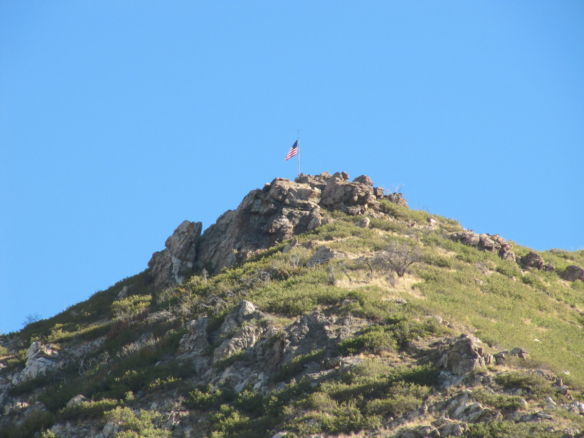
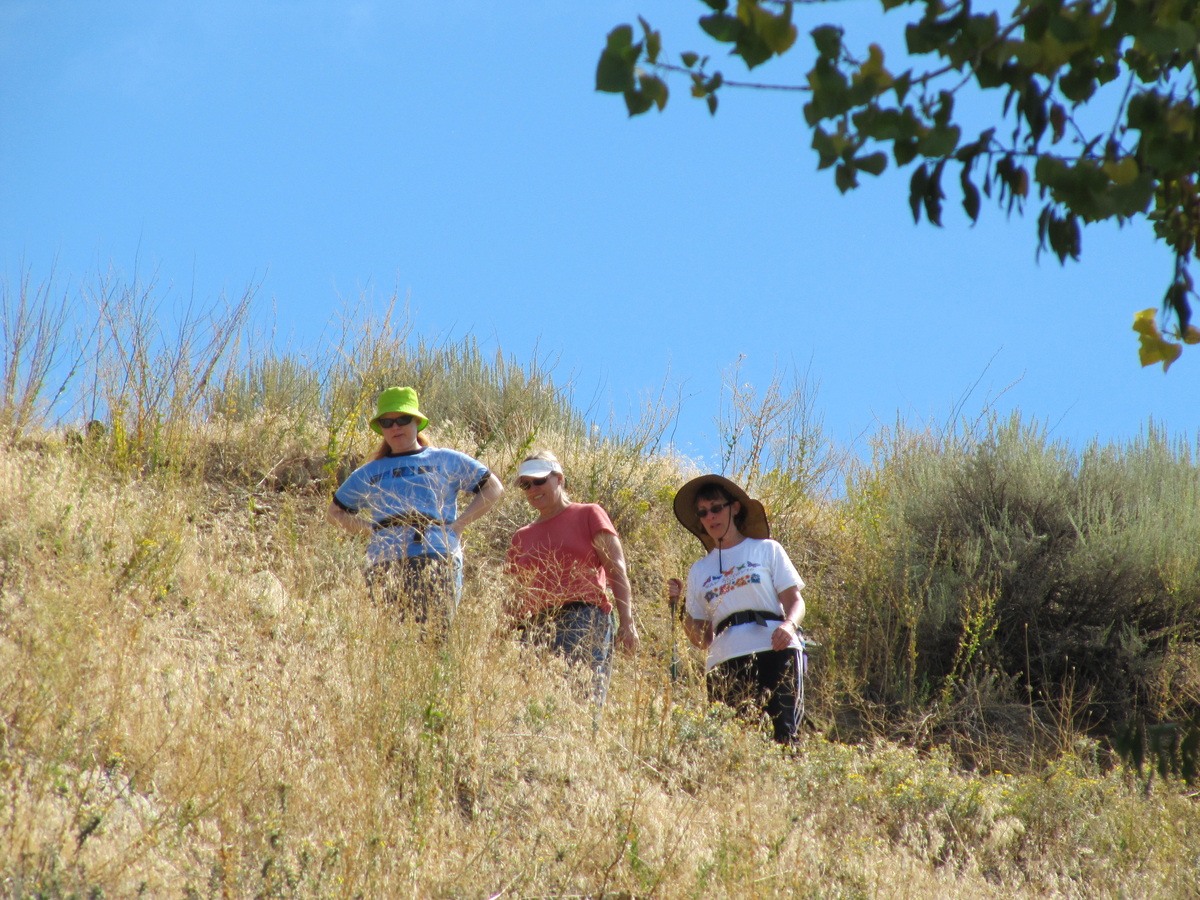
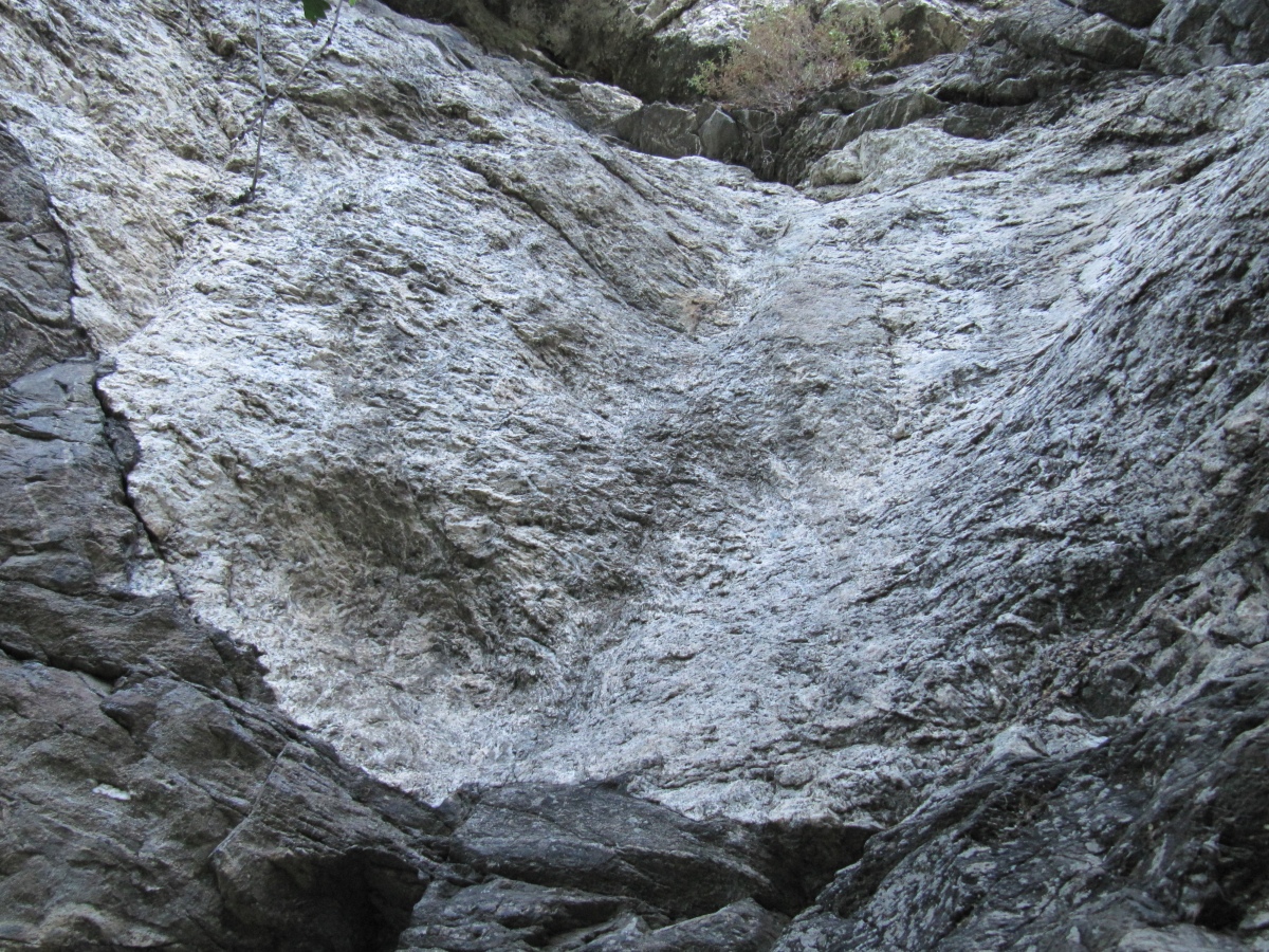
I love to see beautiful landscapes. I have never visited China but if you have been to any of these locations please tell my readers about your experience. Click on the images for a larger photograph or follow the photo credit links.

Mountains of the Yangtze River gorge Yunnan China

Mountains of the Yangtze River Gorge Yunnan China

Photo Credit: Peter Morgan

Dazhai Terrace China

Dazhai Terrace China

Photo Credit: randomix

Guangzhou Moon China

Guangzhou Moon China

Photo Credit: shenxy

Simatai Great Wall China

Simatai Great Wall China

Photo Credit: Mary Helen McNally

Qingyuan Guangdong China

Qingyuan Guangdong China

Photo Credit: shenxy

Kunming China

Kunming China

Photo Credit: Steve Evans

Larima Xinlong Sichuan China

Larima Xinlong Sichuan China

Photo Credit: George Lu

Huangshan China

Huangshan China

Photo Credit: Chi King

Kuerdening Valley Yili Xinjiang China

Kuerdening Valley Yili Xinjiang China

Photo Credit: George Lu

Kawagebo Meili Yunnan China

Kawagebo Meili Yunnan China

Photo Credit: Fon Zhou

These photographs carry a Creative Commons license that permits copying, distribution, and transmission provided that they are not used commercially and attribution is given. Other restrictions may apply, follow the photo credit links for details.
Rickety signature.

Filed Under: Rickety Picks, Travel Tagged With: Grassland, Mountain

Patsy’s Mine Hike: Part 2

September 26, 2010 by rickety 7 Comments

Patsy's Mine Hike

Melissa by Patsy's Mine entrance

On Friday we hiked to Patsy’s Mine in the mountains above Farmington. The trail to the mine is marked and we had no difficulty in finding the entrance. The mine does not go very far and most of the time you can stand upright, though in places one has to stoop. I found out how hard the rock is when I banged my head against it.

Patsy's Mine Hike

Melissa found the bat first. We wondered if it was rabid

There was a bat about 20 feet into the cave. We wondered if it was rabid. It must have been, to want to go hang from the roof of an old mine. Apparently exposure to rabid bats increases with the migration season. This year, four elementary-aged Davis County students have been exposed to a bat that could not be tested. Whenever bats aren’t able to be recovered or are too decomposed for testing, it is not known if they carried rabies. Therefore, to err on the side of caution the children are treated with post-exposure vaccine because the disease is virtually 100 percent fatal.

Patsy's Mine Hike

Melissa, Susan, and Jill with the mine entrance in the background

I walked past the bat and caused it to fly out of the cave past the girls which provoked an appropriate round of screaming. Further into the cave we could hear a faint rumbling sound. We thought maybe it was the freeway traffic or the train. We were a long way from the valley though.

The last time Jill and Susan visited the mine, they navigated by the light from their digital cameras. This time they were more prepared.


There is graffiti on the walls of the mine that in 2,000 years will have archeologists wondering what manner of intelligent life wrote it. They will be figuring that out for a long time.

Patsy's Mine Hike

The right fork is basically just a big puddle

The main tunnel is straight with a fork at the end. The right fork ends in a few paces and the only thing of interest is a rusty rail. The left fork does not go much further before ending. Off of the left tunnel is a small space where you can clamber through and stand upright. Nothing to get excited about.

Patsy's Mine Hike

The left fork soon comes to a dead end

According to the deep thinking and creative Chanelle (her blog no longer accessible), there is an old steam engine that has become hidden from the main trail with years of plant growth. If we had known this beforehand we would have searched for awhile to see if we could find it. According to Chanelle, copper is the most available mineral in the mountain. Shes writes that “…even though there are large quantities of it, the quality is lacking. Because of this, the mines in this area were abandoned and closed up.”

Patsy's Mine Hike

There is an opening in the left fork that goes nowhere

Patsy's Mine Hike

Patsy's Mine entrance. That's it for the tour

Patsy's Mine Hike

Jill says she enjoyed this mine and that she wouldn't mind finding another to explore

Rickety signature.

Filed Under: Fun in Utah, Jill, Recreation, Rick, Rickety Picks Tagged With: Farmington, Melissa, Susan, Utah

Patsy’s Mine Hike: Part 1

September 25, 2010 by rickety Leave a Comment

Patsy's Mine Hike

Melissa, Jill, Susan, and Rick at the entrance to Patsy's Mine

Yesterday we went to Patsy’s Mine above Farmington. It can be a pleasant hike — if you don’t get lost in the undergrowth, don’t have a heart attack on the steep rise, and don’t bang your head on the mine roof.

Getting to Patsy’s Mine

The trailhead begins at a rusty green gate on 1st. North and as far east as you can go in Farmington. At about 50 yards along the trail take the right fork. You rise steeply to eventually meet a dirt road. Cross the road and continue on the trail. After that follow the signs. The mine entrance is just south of and a little below the flag.

Patsy's Mine Hike

Taking a short cut following the 4 wheel drive tracks. Not recommended as we lost the trail

We took a wrong turn and followed 4 wheel drive tracks. When the tracks ended we had to work our way through the undergrowth and back on to the trail. The trail was steep in places but fortunately the old folks didn’t have a heart attack. I did drink more water than usual even though it wasn’t as hot a day as some other hikes. On the return trip we kept to the trail to give us an easy descent.

Patsy's Mine Hike

Susan finding a way around the undergrowth

Patsy's Mine Hike

Jill looking to find the trail. Must be somewhere up there

We eventually got back on the trail.


Patsy's Mine Hike

Me by the mine sign

In the next post I will have some photographs of inside the mine. Not much as mines or photographs go but it is fun to have something different at the end of a hike other than the view. And yes I did bang my head on the mine roof — don’t you do that.

Patsy's Mine Hike

Susan by the mine entrance

Patsy's Mine Hike

View of Farmington from the mine entrance

Rickety signature.

Filed Under: Fun in Utah, Jill, Recreation, Rick, Rickety Picks Tagged With: Farmington, Melissa, Susan, Utah

Paulelbel’s Canon

September 23, 2010 by rickety 6 Comments

Below is a one minute video of someone many of us know who is teaching himself piano. Can you guess who it is? The identity of the musician is revealed at the end of the video. The title to this post also gives you a clue. The arrangement was purchased for $1 from the Jon Schmidt website.


Pachelbel’s Canon, also known as Canon in D major, is the most famous piece of music by German Baroque composer Johann Pachelbel. It was originally scored for three violins and basso continuo and paired with a gigue in the same key. Like most other works by Pachelbel and other pre-1700 composers, the Canon remained forgotten for centuries and was rediscovered only in the 20th century.

Several decades after it was first published in 1919, the piece became extremely popular, and today it is frequently played at weddings and included on classical music compilations, along with other famous Baroque pieces such as Air on the G String by Johann Sebastian Bach. (Wikipedia)

Rickety signature.

Filed Under: Music, Paul, Rickety Picks Tagged With: Piano

Deuel Creek North and South and Centerville Canyon

September 18, 2010 by rickety 2 Comments

Deuel Creek Hike

View of Centerville from Centerville Canyon

On Friday Susan, Melissa, Jill and I took a pleasant hike up Centerville Canyon. We parked the car on the dirt road by the Deuel Creek North trailhead and ended up walking to the Deuel Creek South trailhead. So we began by following the south trail for about one mile to the junction of the north trail where on our way back we would descend on the north side of the creek.

Click on the images to enlarge and be sure to view the videos.

Deuel Creek Hike

Jill is as sure-footed as a mountain goat with her new walking stick

In places the trail is not maintained well. However, I think it adds to the enjoyment to have the possibility of falling off a cliff or two. If you make it to the first stream crossing, there are now eleven log footbridges at key crossings. The Centerville Hiker even put metal mesh on the wood to prevent slipping.

Deuel Creek Hike

Jill, Susan, and Melissa. Notice the metal mesh on the logs

From the junction we continued up the canyon for some distance. On the south side of the creek there is shade and the melodic sound of gently flowing water. Susan and Melissa found a geocache and signed the enclosed book.

Deuel Creek Hike

Give said the little stream as it hurried down the hill

Deuel Creek Hike

Turn right at the 589th tree, remove the grey colored rocks, and you will find the geocache

For directions you could follow the flag flying atop of the mountain. Does anyone know who placed it there?

Deuel Creek Hike

I wonder who unfurled this banner high on the mountain top?

The hike turns into the adult equivalent of the toddler that gets to run around at the park and play on the swing. That’s because there is a long rope swing hanging from a tall tree along the trail. After some of our party tried the swing we turned around and retraced our steps to the previously mentioned junction.

Deuel Creek Hike

Give Melissa enough rope and she will swing high into the trees


Deuel Creek Hike

Jill likes to hang around in the trees

On the north side of the creek Susan and Melissa searched among the rocks for another geocache. I don’t know if they found it because Jill and I went on ahead. The afternoon was getting hot and there was no shade except under our hats.

Deuel Creek Hike

Melissa looking for another geocache

Deuel Creek Hike

Melissa and Susan following our path back to the trailhead

Rickety signature.

Filed Under: Fun in Utah, Jill, Recreation, Rick, Rickety Picks Tagged With: Hike, Melissa, Susan, Utah

Our Grandchildren at Hogle Zoo

September 12, 2010 by rickety 3 Comments

Hogle Zoo

Last Wednesday, along with Adelaide and Jill, I took my three grandchildren to Hogle Zoo. It hasn’t been long since we took Bryson to the zoo. Cassandra, the newborn, slept most of the time but she did wake up near the end. Aurora and Bryson seemed to have fun. There are a lot of new sights and sounds for them to see and hear. Aurora and Bryson got to ride the roundabout, the train, and the lions.

Hogle Zoo

We saw the baby elephant, Zuri, but we didn’t see the zoo’s black bears (Tuff, Cubby, and Dale) because they have been sent to the Oregon Zoo. What we did see was their home being demolished to make way for the new Rocky Shores Exhibit. According to the Deseret News, the new exhibit

will be an extensive multi-animal habitat featuring polar bears, sea lions, seals and possibly other bears. Up-close viewing of the animals as they swim by will be possible through glassed areas, as well as views from ground level in a habitat depicting the physical, cultural and social landscape of the western shores of North America. (“Hogle Zoo send away three bears to make way for construction,” Deseret News, May 2, 2010)

Hogle Zoo

Hogle Zoo

Hogle Zoo

Hogle Zoo

Hogle Zoo

Hogle Zoo

Read Cassandra’s report of the zoo visit in Cassie’s World…It’s a Jungle Out There!
Rickety signature.

Filed Under: Adelaide, Aurora, Bryson, Cassandra, Fun in Utah, Jill, Rick Tagged With: Utah, Zoo

More Rocky Mountain National Park

September 12, 2010 by rickety Leave a Comment

Rocky Mountain National Park

Mike walking around Bear Lake

On our second day in Rocky Mountain National Park, Mike and I traveled along Bear Lake Road to see Alberta Falls and Bear Lake. We weren’t planning on any grand hikes into the wilderness. Nevertheless we did appreciate that some areas were easily accessible with a little walking. This area of the park was busier than yesterday’s tour of Trail Ridge Road.

Rocky Mountain National Park

The 14,255-foot Longs Peak across this valley served as a navigational aid for centuries

Longs Peak

We took a moment to view Longs Peak, named after Major Stephen H. Long, who led a U.S. Army topographic expedition to the region in 1820. As Major Long and his party of 22 explorers neared the Rocky Mountains, he wrote, “a high Peake was plainly to be distinguished towering above all the others as far as the sight extended.”

Rocky Mountain National Park

Bear Lake sits at an elevation of 9,475 feet

Bear Lake

Bear Lake rests beneath the sheer flanks of Hallett Peak and the Continental Divide. The lake was formed during the ice age by a glacier. Several trails start from the lake. The trail around Bear Lake offers magnificent views across the lake to Longs Peak and the other high mountains surrounding Glacier Gorge.

Rocky Mountain National Park

Hallett Peak viewed from Bear Lake

Hallett Peak is flanked by Flattop Mountain to the north and Otis Peak to the south. Just to its east lies Dream Lake. Non-climbers may reach the summit of Hallett Peak easily by following the Flattop Mountain Trail to its highpoint, then walking south along the ridgeline and ascending the peak over talus piles (rocks at the base of a slope). We didn’t ascent the peak but instead visited Alberta Falls.

Rocky Mountain National Park

Mike caught me enjoying the views at Bear Lake

Alberta Falls

This is a very enjoyable hike. The trail is well maintained and the scenery is beautiful. The Falls are only .6 mile with a rise of 160 feet from Glacier Gorge Junction. We connected with the trail from Bear Lake. Once we viewed the Falls we doubled back on ourselves and followed the sign for Glacier Gorge Junction. We went downhill to the shuttle bus stop. We then rode back to the Bear Lake parking lot to pick up our car.

In the afternoon we headed for Utah via Trail Ridge Road. We enjoyed our time at Rocky Mountain National Park.

Rocky Mountain National Park

Wilderness

In 2009, Congress protected 95 percent of the park under the 1964 Wilderness Act. Road corridors and adjacent visitor use areas are excluded. Wilderness designation protects forever the land’s wilderness character and natural conditions, opportunities for solitude and primitive recreation, and scientific, educational, and historical values. In wilderness, people can sense being a part of the whole community of life on Earth. Preserving wilderness shows restraint and humility, and benefits generations to come. (Roaming the Rockies, NPS)
Rickety signature.

Filed Under: Mike, Recreation, Rick, Rickety Picks, Travel Tagged With: Colorado

Rocky Mountain National Park

September 12, 2010 by rickety 2 Comments

Rocky Mountain National Park

Rocky Mountain National Park is one of over 390 parks in the National Park System

My brother and I passed through Rocky Mountain National Park on our way back home to Utah. I want to share with you a few of the photographs we took and information about the park taken from the map that is given to park visitors.

Rocky Mountain National Park

Trail Ridge Road rises to 12,183 feet, the highest major highway in North America

Trail Ridge Road

Set in the Southern Rockies, Rocky Mountain national Park could be called “the top of the world for everybody.” Here treeline and tundra –the miniaturized alpine world — are accessible to all along the park’s Trail Ridge Road. The highest major highway in North America tops out at 12,183 feet above sea level. Here is one of the the most expansive areas of alpine terrain in the United States. Nearly one third of the park is above treeline — 11,400 feet of elevation in the park — the limit above which conditions are too harsh for trees to grow.

Rocky Mountain National Park

In 2009, Congress protected 95 percent of the park under the 1964 Wilderness Act

Rocky Mountain National Park holds 72 named peaks above 12,000 feet of elevation. Longs Peak, at 14,259 feet, is the most northernmost so-called “fourteener” — peak rising above 14,000 feet — in the Rocky Mountain chain. Great Earth forces thrust the Rockies skyward 70 million years ago, but many of the exposed granite rockies in the park are much older: 1.3 billions years or more.

Rocky Mountain National Park

A 500-foot-thick glacier once covered the valley below.

Glacier

Three major glacial episodes from 738,000 to 13,750 years ago sculptured the scenery that inspired citizens to persuade Congress to make the national park in 1915, one year before Congress created the National Park Service. For over 30 years most of the park has been managed like designated wilderness — to preserve its natural conditions and wilderness character.

Rocky Mountain National Park

A U-shaped valley carved out by a glacier

As the valley glacier inched along over hundreds of years, it scoured out the distinctive U-shaped valley. Like a giant slow-motion conveyor belt, the glacial ice eventually carried its rock debris down the valley. At the farthest point of the glacier’s advance it deposited a load of rock fragments, called terminal moraine. About 15,000 years ago, the glacier began to recede. As it dissipated, the glacier dropped rubble along its flanks, forming lateral moraines, and the meltwater also left behind sediments that became the meadows of Horseshoe Park.

Rocky Mountain National Park

This trail led to a dead end.

Toll Memorial

The Tundra World Nature Trail of a half mile leads to the Toll Memorial. Mike and I took the wrong trail that ended in a dead end. We had to clamber up a steep slope to find the nature trail. Once on the trail at the end of the path we climbed up a rocky cleft. There was a memorial plaque commemorating Roger Wolcott Toll, the Rocky Mountain National Park superintendent from 192 to 1928 who helped Trail Ridge Road to become a reality.

Rocky Mountain National Park

Mike took this photograph of me standing next to the Trail Ridge Mountain Index. The plaque is directly below

Climb to the top of the rock outcrop to view a grand panorama. You can use the Trail Ridge Mountain index to sight landmarks up to 60 miles away. At 12,304 feet I found the view to be magnificent.

Rocky Mountain National Park

Trail Ridge Mountain Index at 12,304 feet

Sunset

We hung around in the park until sunset. Just as the sun was going down we stumbled across a herd of elk. They were so close it was hard not to get a good photograph.

Rocky Mountain National Park

Rocky Mountain National Park

We continue our sightseeing in More Rocky Mountain National Park

Rickety signature.

Filed Under: Mike, Recreation, Rick, Rickety Picks, Travel Tagged With: Colorado

Parrish Canyon Fremont Pictograph Photographs

September 6, 2010 by rickety 1 Comment

Parrish Canyon Fremont Pictographs

In the photograph above Connie illustrates what the canyon looks like by the pictographs. Not that it helps much I admit. There is a Forest Service marker at one point that warns you not to touch the rock art. We looked at the rock, and even took pictures, but we could not see any art in it at all. Mark went further up the canyon, climbed around some rocks, and found the pictographs.

Mike told us that it is best to come up in the Spring when the pictographs are freshly painted.

Parrish Canyon Fremont Pictographs

Parrish Canyon Fremont Pictographs

Parrish Canyon Fremont Pictographs

Parrish Canyon Fremont Pictographs

Parrish Canyon Fremont Pictographs
Rickety signature.

Filed Under: Fun in Utah, Group, Jill, Mike, Paul, Rick, Rickety Picks Tagged With: Hike, Labor Day

  • « Previous Page
  • 1
  • …
  • 3
  • 4
  • 5
  • 6
  • 7
  • …
  • 18
  • Next Page »

Recent Comments

  • Anonymous on One Hundred Thousand Milpengo
  • Jeremy McMullin on Mesa Easter Pageant – Jesus The Christ
  • Genma Vincent on George W Bush on Religion
  • Anonymous on The Twelve Stones of The Apocalypse
  • Judy Crowe on Ten Artists Paint Old Testament Women
  • Angela on The Twelve Stones of The Apocalypse
  • Angela on The Twelve Stones of The Apocalypse
  • AllHailKingJesus on The Twelve Stones of The Apocalypse
  • Microwave guy on Make a Halloween Costume from a Microwave Oven
  • Anonymous on Arduino AVR High-Voltage Serial Programmer

Who is this Rickety?

Rick at homeI'm Rick Willoughby. I live in Utah, a retired Software Engineer. I'm a Mormon, married with 5 children and 12 grandchildren.

I emigrated from England in my late twenties, bringing with me one small suitcase and a few dollars. I appreciate the opportunities America has given me and the friendliness of the people to new citizens.

I blog about my family as well as politics, religion, finance, technology, and other topics.

Copyright © 2025 · Lifestyle Pro Theme on Genesis Framework · WordPress · Log in