• Blog
  • LDS
    • Canada
    • Japan
    • U.K.
    • U.S.
    • World
    • Politicians
  • Site
    • About
    • Archive
    • Best of Rickety
    • Comments Policy
    • Copyright
    • FAQ
    • Feedback
    • Guests
    • Privacy Policy
    • Technical
    • Why Blog?
  • Sundry
    • Comics
    • HyperCheese Help
    • JFHE
    • Projects
      • Book of Mormon
    • Wishful Thinking

Rickety

Mostly about Utah

  • Family
    • Jill
    • Rick
    • Children
      • Daniel
      • Jake
      • Paul
      • Sarah
      • Steven
    • Children’s Spouses
      • Adelaide
      • Derek
      • Megan
      • Rachel
      • Shelese
    • Grandchildren
      • Aurora
      • Benjamin
      • Bryson
      • Caleb
      • Calvin
      • Cassandra
      • Elizabeth
      • Ezra
      • Helen
      • Jameson
      • Ryan
      • Sadie
  • Finance
    • Bank Rewards Checking
    • Credit Union Rewards Checking
    • Debt
    • Employment
    • Money
    • Rewards Checking Posts
  • Government
    • City
    • Elections
    • Federal
    • Military
    • Paul on Politics
    • Politics
    • States
    • Taxes
  • Recreation
    • Competition
    • Food
    • Fun in Utah
    • Games
    • Music
    • Parade
    • Sports
    • Travel
  • Religion
    • Christmas
    • Family History
    • Jesus Christ
    • LDS
    • Marriage
    • Missionary
    • On Religion
    • Preparedness
    • Scriptures
    • Temple
  • Series
    • 100 Years Ago
    • Christmas Letter
    • Epic Excerpts
    • On Religion
    • Past Pictures
    • Daniel’s Mission
    • Jake’s Mission
    • Paul’s Mission
  • Technology
    • Applications
    • Blogging
    • Communication
    • Computer
    • Energy
    • Environment
    • How To
    • Photography
    • Population
    • Transportation

A Banner Story

July 26, 2008 by rickety Leave a Comment

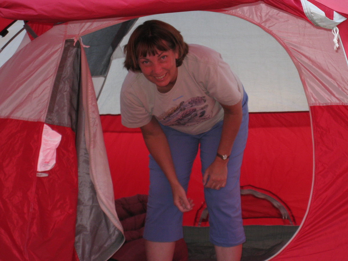
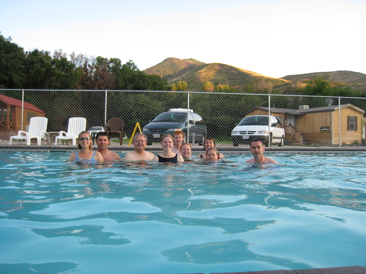
Some have expressed interest in knowing the story behind the banners I display on my rickety blog. All the photographs were taking either by my wife or myself, on vacation mostly. Here are the first 18, I will post the remainder at a later date. Click on the banners below and you will see the photographs from which they were derived.

Here you can see the shuttles that brought us to the start of the trail to Angels Landing in Zion National Park, Utah. The trail ascends 1,500 feet over a distance of 2.5 miles to the summit, which is ringed on three sides by the Virgin River far below.
Angels Landing, Zion National Park

This is a fantastic view on the way to the summit of Angels Landing in Zion National Park, Utah The figure to the right is my son Steven. The remaining trail runs along a narrow rock fin with dizzying drop-offs on both sides. This narrow ridge has deep chasms on each of its flanks and hikers pull themselves up by chains.
Steven admiring the view before the last leg of Angels Landing

My brother Mike on the trail to Angels Landing, Zion National Park, Utah. We hiked for 40 minutes to reach the 1-mile mark and enter the cool shade of Refrigerator Canyon—a deep canyon with steep walls where the temperature is always cool. After exiting Refrigerator Canyon, we were upon the switchbacks known as Walter’s Wiggles—a series of twenty-one compact switchbacks that zigzag their way up to Scout Lookout.
Mike on the trail to Angels Landing

Antelope Island in Davis County, Utah, is just a few miles away from my home. Antelope Island is the perfect place to view the Great Salt Lake and experience the vast solitude of the Great Basin. The largest of the Great Salt Lake’s ten islands, visitors can reach the park by boat or via a causeway reopened in 1992 after being submerged for a decade by record-high lake levels.
Antelope Island, Davis County, Utah

Bear Lake straddles the border between Utah and Idaho. This was taken from the balcony of my brother-in-law’s cabin. Bear Lake is a large scenic lake often called “Caribbean of the Rockies” for its intense turquoise blue water.
Bear Lake from the Utah shore

Kennecott Utah Copper is the largest copper mine in the world. When I visit I am always surprised at the size of this open pit and the machinery in operation. Standing at the overlook within the Bingham Canyon Mine, you can watch 240 and 320 ton capacity haulage trucks deliver copper ore to the in-pit crusher, where the material is reduced to the size of soccer balls before being loaded onto a five-mile conveyor that carries the ore to the Copperton Concentrator.
Kennecott Utah Copper Mine

The next three photographs were taken somewhere around Bryce Canyon National Park. Famous for its unique geology of red rock spires and horseshoe-shaped amphitheaters, Bryce offers the visitor a “Far View” from the eastern edge of the Paunsaugunt Plateau in southern Utah.
Bryce Canyon National Park, Utah

With a rim elevation between 8,000 to 9,100 feet, summer days are pleasant (80’s) and nights are cool (40’s). Spring and Fall weather is highly variable with days of snow or days with strong sun and 70 degrees. Cold winter days are offset by high altitude sun and dry climate.
Bryce Canyon National Park, Utah

Because Bryce transcends 2000 feet of elevation, the park exists in three distinct climatic zones: spruce/fir forest, Ponderosa Pine forest, and Pinyon Pine/juniper forest. This diversity of habitat provides for high biodiversity. At Bryce, you can enjoy over 100 species of birds, dozens of mammals, and more than a thousand plant species.
Bryce Canyon National Park, Utah

I believe this is Lake Tahoe in California though I cannot be sure. Lake Tahoe is the second deepest lake in the United States, with a maximum depth of 1,645 feet. Tahoe is also the 16th deepest lake in the world, and the fifth deepest in average depth. It is about 22 miles long and 12 miles wide and has 72 miles of shoreline and a surface area of 191 square miles.
A lake in California

This is the same view of the lake, but a separate photograph, with a closeup of the boat that is merely a dot near the center of the banner above. Boating, the primary activity in Tahoe in the summer, is known worldwide. There are lake front restaurants all over the lake, most equipped with docks and buoys. There are all sorts of boating events, such as sailboat racing, firework shows over the lake, guided cruises, and more.
A boat on a California lake

In a corner of the southern Colorado Rocky Mountains is the Cumbres and Toltec Scenic Railroad. Built in 1880 and little changed since.
Cumbres and Toltec Scenic Railroad

My brother Mike admiring Craters of the Moon National Monument and Preserve, Idaho. Craters is a vast ocean of lava flows with scattered islands of cinder cones and sagebrush. In 1969 Apollo 14 astronauts Alan Shepard, Edgar Mitchell, Joe Engle and Eugene Cernan visited Craters of the Moon. They explored the lava landscape in order to learn the basics of volcanic geology in preparation for future trips to the moon.
Craters of the Moon National Monument and Preserve

Devils Tower rises 1267 feet above the Belle Fourche River. President Theodore Roosevelt proclaimed Devils Tower the first national monument in 1906. Our family camped at a KOA near Devils Tower and in the evening we watched Close Encounters of the Third Kind on a big screen outdoors. It was a little eerie having Devils Tower looming to my left as the movie progressed.
Devils Tower National Monument, Wyoming

Not much of a story behind this banner, just a train we saw on our way to Canada. Union Pacific Railroad, is the largest railroad in North America, covering 23 states across two-thirds of the United States.
A train on our way to Canada

My favorite destination in Florida is the Kennedy Space Center in Orlando. All Expendable Launch Vehicles use the same basic technology to get into space: two or more rocket-powered stages, which are discarded when their engine burns are complete.
NASA rocket in Florida

Jill and I stayed at the Prince of Wales Hotel in Waterton-Lakes National Park in Alberta after traveling the Going-to-the-Sun Road. This is the view from the hotel. The highlight of Waterton’s sparkling chain of lakes is the international Upper Waterton Lake, the deepest lake in the Canadian Rockies. In 1932, the park was joined with Montana’s Glacier National Park to form the Waterton-Glacier International Peace Park — a world first.
Glacier National Park, Canada

Goblin Valley State Park, Emery County, Utah was officially designated a state park on August 24, 1964. Secluded Goblin Valley was first discovered by cowboys searching for cattle. Then, in the late 1920’s, Arthur Chaffin, owner/operator of the Hite Ferry on the Colorado River, and two companions were searching for an alternate route between Green River and Cainsville. They came to a vantage point about a mile west of Goblin Valley and were awed by what they saw — five buttes and a valley of strange-shaped rock formations surrounded by a wall of eroded cliffs.
Goblin Valley State Park

Filed Under: Travel Tagged With: California, Colorado, Idaho, Utah, Vacation

Nephi Overnighter

July 20, 2008 by rickety 6 Comments

Nephi

Nephi CityJill and I were invited by Kent and Susan Ward to spend the night at Camperworld in Nephi. So Friday afternoon we loaded up the van, threw in the tent, food, and some old chairs and picked up Sarah and Derek on the way.

After a two hour ride we were eating supper at Nephi’s One Man Band Diner (even though there were three people serving). Kent, Susan, Connie, Shauna, and Byron were already well into their meal.

I ate bacon, eggs, sausage, pancakes, hash browns, and toast. Water to drink because I am watching my weight.

When we made camp Sarah ate a cookie

When we made camp Sarah ate a cookie

We made camp at Camperworld and ate a few cookies because it had been all of thirty minutes since we had last eaten. Shauna and Connie test the camp chairs for comfortability after pitching their tent. It was decided to go swimming in the pool. Derek and I were undecided but changed to the affirmative when Susan brought a Frisbee with a hole in it with which we played monkey-in-the-middle for quite some time. We had the whole pool to ourselves. See, take a look. Children were not allowed to swim after 7pm but that didn’t stop a family with two little boys from trying to take a dip. The boys were kitted out with water wings and were eager to paddle. Pool management appeared and said otherwise and one of the boys cried. I said, “Get used to it kid, life is full of disappointments”, in a very uncharitable voice, out of earshot of the parents of course. Someone had the bright idea to get a tiny sliver of wood and dive and release it in the water. The rest of us then had to find it. Jill won this wood sliver game by standing in the same spot in the pool and would find wood almost every time.

Playing monkey-in-the-middle with a Frisbee in the pool

Playing monkey-in-the-middle with a Frisbee in the pool

After we were thrown out of the pool it was time for a snack around the campfire. It was another opportunity to take a group photograph. Sarah and Derek brought some strawberry turnover kits to make into dough boys. The dough boys are made by wrapping the turnover dough in the form of a cup around the end of a broom handle and heating in the fire.

When cooked fill with strawberry filling and top with frosting and whipped cream. See what it looks like when it is cooked. CampfireHere it is with the filling. This is what it looks like being eaten.

There were bats flying nearby and if you shielded your eyes from the bright camp light you could see them catch a big fat juicy moth. Now I never did see any bats but I did see plenty of moths. Whether they were juicy or not I’m not able to say. I rather think my fellow travelers were worshiping the camp light god. Around eleven we turned in. It wasn’t long before I was in my sleeping bag. The temperature was just right for sleeping.

After breakfast Derek, Byron, and Shawna played Frisbee under a blazing relentless hot Nephi sun. Later several of the party played horseshoes. We broke camp and left on the Nebo Scenic Byway. Every year it experiences four distinct seasons.

The organisms of the Byway must be equipped with special adaptations to survive the changes from freezing ground, to high temperatures, to changing day lengths. Leaves changing colors, and animals entering hibernation are examples of adaptations. Plant species can be found growing in specific elevation zones. Below 8,000 feet a variety of brushes including sage brush, scrub oak, and serviceberry are present. The zone from about 8,000 to 10,000 feet is predominately quaking aspen, alpine fir, and Engelmann spruce. See, I can read the signs.

Mount Nebo

Mount Nebo

Mount Nebo

Mount Nebo, at 11,928 feet above sea level, is the highest peak in the entire Wasatch Mountain range which stretches as far as southern Idaho.

Indians once built signal fires on the summit of Mount Nebo which was named by the early Mormon pioneers after the Mount Nebo in Palestine. The name Nebo means “Sentinel of God”. In 1869, W. W. Phelps was the first settler recorded to ascend the mountain. There are several land slumps where no vegetation is growing. These slumps occurred during the extremely wet years of 1983-84, when the moisture content of the soil was so great it could not hold its own weight and slid down the mountain.

The 1800’s found several groups of pioneers settling the valley below Mount Nebo. These early pioneer settlers relied on the nearby mountains for food, fuel, and shelter to ensure their healthy survival. As pioneer communities became more established in the area, the settlers began to use the mountain for more than basic survival needs. In the 1870’s and 80’s, the development of mines and railroad spur lines increased logging in the Salt Creek area.

Devil's Kitchen

Devil's Kitchen


A saw mill stood where Bear Canyon Campground is now located. Logs from Bear Canyon were floated in a flume to a mill, where they could be prepared for shipping. Early settlers also quarried grey sandstone from Salt Creek, and red sandstone from nearby Andrews Canyon. Even Mount Nebo was a mining sire where gypsum was removed for making plaster.

Devil’s Kitchen

Before the birth of the Wasatch Mountains, nearly 80 million years ago, streams were actively eroding a mountain range in this area and depositing sand and gravel at the mouths of canyons. The deposits were eventually buried and cemented to form conglomerate.

Devil's Kitchen formation

Devil's Kitchen formation


The conglomerate has been carried upward with the Wasatch Mountains as movement on the Wasatch Fault raised the mountain range to its present heights. The red color is due to oxidation of iron within the conglomerate. The forces of weathering and erosion are very active here. Because the cementing material is weak and the slopes are steep, erosion occurs rapidly. The result is the uniquely sculptured landscape we call “Devil’s Kitchen”. Cone erosion creates cone-like forms because there is no capstone to protect the material underneath. The upper portion also weathers more quickly because the material is weaker than the bottom portion.
Bald Mountain is bald because vegetation will not grow readily above 10,500 feet

Bald Mountain is bald because vegetation will not grow readily above 10,500 feet

We stopped along the way to take several photographs and at the end of the Byway we had a picnic. It was then into Payson, northward and homeward.

Check out Derek’s blog for his report.

Filed Under: Group, Recreation, Travel Tagged With: Bald Mountain, Devil's Kitchen, Mount Nebo, Nephi, Susan

Why a Congestion Tax should be Blocked

July 14, 2008 by rickety 4 Comments

I-405 Freeway Traffic
July 10th saw Road Congestion Pricing Possible printed in the Davis County Clipper. The Utah Taxpayers Association is calling for congestion pricing on Utah’s freeways. It is supposed to work by electronically monitoring freeway traffic and charging more when freeways are congested. There are a number of problems with such a system:

  1. Drivers already pay greater amounts of gasoline tax the more miles they drive. The price of gas is a very good automated system for curtailing driving.
  2. The claim that 50% of driving at rush hour is discretionary seems inflated. Most drivers are well aware of when rush hour is. We don’t arise in the morning and say, “Hmm, peak congestion is at 5 pm, I do believe I will wait till then to drive to Salt Lake to buy some stamps.”
  3. If freeways have a rush hour charge, some traffic will divert on to secondary roads, adding to congestion there.
  4. Congestion pricing favors those more able to pay. Congestion is everyone’s problem and needs an intelligent solution that I will of course detail shortly.
  5. Workers who commute would have to pay the most. They have no choice but to travel in rickety cars at the worst of times. The congestion tax does not know who is taking a non-discretionary trip.

Intelligent solutions that encourage participation is the order of the day. Not a new tax thinly disguised as pricing. Here are just a few, nothing new, they have been around for a number of years:

  • Employers can establish satellite offices to shorten the commute and to tout as an added benefit to prospective employees.
  • Telecommuting is an obvious solution that is more viable today with the spread of broadband.
  • The state of Utah recently implemented a 4-day work week. That will shift employee commute times to earlier and later in the day and eliminate it on Fridays.
  • If you must have a congestion tax then levy it on employers who are mandating that workers commute. Employers have been slow to change because the employee bears the full cost of the commute in time and money.

Perhaps the Utah Taxpayers Association should lobby Congress to change the name freeway to taxway to better represent the way the UTA (the Association, not the Authority) sees these vital traffic arteries.

Filed Under: Travel Tagged With: Commute, Congestion Tax, Utah, Work

Eye of the Bighorn Sheep

July 9, 2008 by rickety 2 Comments

Bighorn Sheep

Bighorn Sheep on the road in Canada

Jill and I were on vacation in July 2007 in the Canadian Rockies when we spied several bighorn sheep on the road. I stopped my car to take some photographs and soon one of the sheep came right up to my car. I stuck my camera out of the window and turned it at an angle to get the picture.

It wasn’t until I got home and looked at the photograph that I noticed the reflection of the car in the sheep’s eye.

Eye of a Rocky Mountain Bighorn Sheep

If you look closely in the enlarged eye you will see the outline of my white Nissan Maxima. You can view my enlargement on this page or click on the photograph of the sheep to see it. Anyway, the rear wheel can been seen in the bottom left of the eye with the rear door and the trunk also showing. You would think the sheep would have had its eye on me in the driver’s seat and be ready to bolt if I moved. I emailed the photograph to two friends, one of whom asked me if I had had any food in the car. Yes, I did have food laying on the back seat of the vehicle. Then I realized how hungry the sheep must have been. Controlled burns were in progress in the area and perhaps this had reduced the availability of food, along with the drought.
Rickety signature.

Filed Under: Jill, Rick, Travel Tagged With: Canadian Rockies, Nissan Maxima, Sheep

Raise it Slow

June 26, 2008 by rickety 1 Comment


Photo credit FreeWine

I read on the KSL website yesterday that the state of Utah may switch to some kind of compressed work week. On the KSL comment boards, a viewer wrote, “I thought state workers already worked only 4 days a week.” Draper and West Valley City have already implemented four-day work weeks. My daughter-in-law already works a four-day week as does my son.

When FrontRunner began service my wife (who works part-time) began riding the train by driving to Farmington to catch it. Her cost in June is $3 one-way. In Salt Lake City there is a company shuttle to take her and other employees to the work site. Because hiring is strong there are plans for employees to share cubicles and telecommute half the week each.

One of my co-workers last year bought a Natural Gas Vehicle, a Honda Civic. He qualified for the Utah tax credit ($3,000) but not the Federal ($4,000). It costs the equivalent of 63 cents (soon to rise to 85 cents) a gallon to fill. He showed several of us the car. There was a connection where the gas is, um, connected. He says it takes about the same amount of time to fill as a gasoline car. Most of the trunk is taken up by the Natural Gas tank but there is still some space left to stow items. Of course, there are not many filling stations on a long trip so he won’t be going very far out of town anyway. Otherwise the Civic was much like any other car on the outside. Another co-worker just ordered a Toyota Prius.

Many people are adjusting to rising gas (the petroleum kind) prices. So long as prices rise relatively slowly, or at least not in big jumps overnight (I’m talking dollar increases) then a majority of us can explore alternatives like public transport, alternative fuels, telecommuting, emigrating to Saudi Arabia, and compressed work weeks.

So if oil has to go up in price, please Raise it Slow. I don’t want to get out my rickety old bike just yet.

Related articles

  • Would you give up TV for gas?
  • Ford replaces SUVs with hybrid cars

Filed Under: Travel Tagged With: Natural gas, Natural Gas Vehicle, Salt Lake City, Saudi Arabia, Toyota Prius, Utah

Mongolia

June 21, 2008 by rickety Leave a Comment

Now that Daniel will be serving his mission in Mongolia, friends have asked questions about that country. This Wikipedia article is a good source of information and here is the official government tourist website.

The Church came recently to Mongolia. In 1984, Monte J. Brough traveled to Mongolia on a hunting trip. In May 1992 Elders Merlin Lybbert and Monte Brough, members of the Asia Area Presidency, traveled to Mongolia to explore the possibility of the Church providing humanitarian aid. Prior to this trip, the Mongolian ambassador to the United States had traveled to Brigham Young University, which had paved the way for Elders Lybbert and Brough by providing positive contact with the Mongolian government.

After several months of negotiation, permission was granted to send six missionary couples to assist the country’s higher education program and to teach others about the Church.

Timeline

16 September 1992
First missionary couple, Kenneth and Donna Beesley, arrive.
20 September 1992
First sacrament meeting held in the Beesley’s apartment.
6 February 1993
First converts, Lamjav Purevsuren and Tsendkhuu Bat-Ulzii, are baptized.
15 April 1993
Elder Neal A. Maxwell of the Quorum of the Twelve and Elder Kwok Yuen Tai of the Seventy visit Mongolia.
August 1993
First six young elders arrive.
September 1993
The Ulaanbaatar Branch is organized.
24 October 1994
The Church is registered with the Mongolian government.
11 April 1995
The first Mongolians receive mission calls.
1 July 1995
The Mongolia Ulaanbaatar Mission officially established.
1996
Church-sponsored humanitarian projects include the support of the Mongolian Scout Association, training of professional accountants, cold weather housing, teaching English, and relief for victims of grass fires. Seminary and Institute classes begin.
March 1996
First four sisters arrive.
15 September 1996
The Ulaanbaatar Mongolia District is organized with Togtokh Enkhtuvshin as president
12 June 1997
Elder Joseph B. Wirthlin of the Quorum of the Twelve visits with Dr. R. Gonchigdorj, chairman of parliament.
1999
Membership reaches 1,850 in nine branches.
6 June 1999
The first LDS meetinghouse, a converted cinema, is dedicated by Elder Richard E. Cook.
2000
The Church responds to an appeal by the Mongolian government for help after a severe winter followed by the worst drought in 60 years. Three shipping containers of clothing and quilts are sent, in addition to 8,000 food boxes.
Fall 2000
Construction began on the five-story Bayanzurkh Church Center that will house the mission home and office, service center, meetinghouse, and Church Education System offices.
2001
Translation of the Book of Mormon into Mongolian completed.
June 2001
The Darkhan meetinghouse is dedicated by Elder Richard E. Cook, the first Church-built meetinghouse in Mongolia.
2002
Membership reaches 4,358 in two districts and 21 branches.
2003
Membership reaches 5,455.
2005
Membership reaches 6,735.
1 Jan 2007
Members 7,306; Missions 1; Districts 2; Branches 26; Percent LDS .2 or one in 468.
1 Jan 2008
Members 7,721; Missions 1; Districts 2; Branches 21.
1 Jan 2009
Members 8,444; Stakes 1; Missions 1; Districts 2; Branches 21; Percent LDS .28 or one in 360.
1 Jan 2010
Members 9,239; Stakes 1; Wards 6; Missions 1; Districts 2; Branches 16; Percent LDS .28 or one in 360. The name of the stake is Ulaanbaatar Mongolia West, organized 7 June 2009, first president being Odgerel Ochirjav.

Source

“Mongolia” 536-537, Deseret Morning News 2011 Church Almanac.

External Articles

Mary Nielsen Cook, “A Mighty Change in Mongolia,” Ensign, June 1996, 75–76. Scroll down to second article.
Don L. Searle, “Mongolia: Steppes of Faith,” Ensign, Dec 2007, 54–59.
Blog post, Mongolia Specifics.

Updates

2010: Added membership details for 2007 and 2008.
2011: Added membership details for 2009. Adjusted some dates.

Filed Under: Daniel's Mission, Missionary, Travel Tagged With: Book of Mormon, Mission, Mongolia, The Church of Jesus Christ of Latter-day Saints

Cumbres and Toltec Scenic Railroad

June 10, 2008 by rickety 1 Comment

Cumbres and Toltec Scenic Railroad

Cumbres and Toltec Scenic Railroad

For a week Jill took off on vacation with her father, sister, brother, nephew, and two nieces. The trip objective was to ride the Cumbres and Toltec Scenic Railroad. This locomotive is not some old steam engine, but a high class train.


Here is Jill enjoying the weather. Hmm it is June isn’t it?


Before the train ride was a stop at Black Canyon of the Gunnison. A beautiful sight don’t you think?


A look at Mesa Verde is a must just to see how the other half live. This for sure beats the Parade of Homes.

After deciding they really prefer to ride in a car, love the Wasatch Range, and find their own abodes desirable, the travelers headed home.
Rickety signature.

Filed Under: Jill, Recreation, Rickety Picks, Travel Tagged With: Cumbres and Toltec Scenic Railroad, Road trip

Farmington Frontrunner

June 1, 2008 by rickety 5 Comments

I had an opportunity to take a few photographs of Frontrunner when I went to pick Jill up at the Farmington Station. I haven’t been around a train for awhile so it appeared larger to me. I haven’t ridden it yet but I will soon.

[Read more…]

Filed Under: Travel Tagged With: Rail transport

  • « Previous Page
  • 1
  • 2
  • 3
  • 4

Recent Comments

  • Anonymous on One Hundred Thousand Milpengo
  • Jeremy McMullin on Mesa Easter Pageant – Jesus The Christ
  • Genma Vincent on George W Bush on Religion
  • Anonymous on The Twelve Stones of The Apocalypse
  • Judy Crowe on Ten Artists Paint Old Testament Women
  • Angela on The Twelve Stones of The Apocalypse
  • Angela on The Twelve Stones of The Apocalypse
  • AllHailKingJesus on The Twelve Stones of The Apocalypse
  • Microwave guy on Make a Halloween Costume from a Microwave Oven
  • Anonymous on Arduino AVR High-Voltage Serial Programmer

Who is this Rickety?

Rick at homeI'm Rick Willoughby. I live in Utah, a retired Software Engineer. I'm a Mormon, married with 5 children and 12 grandchildren.

I emigrated from England in my late twenties, bringing with me one small suitcase and a few dollars. I appreciate the opportunities America has given me and the friendliness of the people to new citizens.

I blog about my family as well as politics, religion, finance, technology, and other topics.

Copyright © 2025 · Lifestyle Pro Theme on Genesis Framework · WordPress · Log in