The Making Of The Grand Canyon
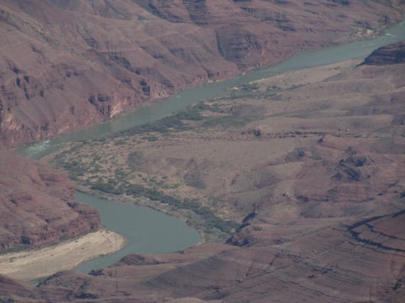
The Colorado River flowed across the Colorado Plateau on its way from the Rocky Mountains to the Gulf of California. Each rain washed sparsely vegetated desert soils into the river.
A steep gradient and heavy sediment loads created a powerful tool for erosion. The river’s volume varied seasonally and over time. As the last ice age ended, the flow may have been 10 times today’s volume.
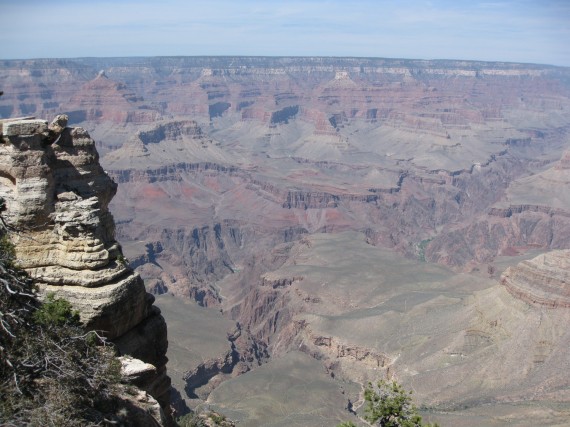
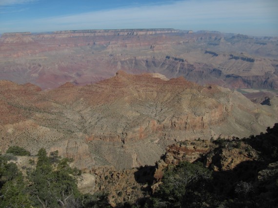
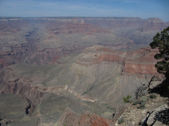
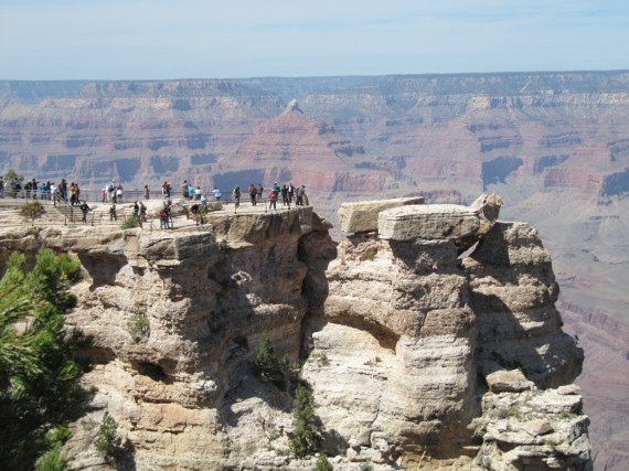
As the river cuts down, the canyon deepens. Tributaries erode into the canyon’s sides, increasing its width. Erosion carves faster into the softer rock layers, undermining harder layers above. With no foundation these layers collapse, forming the cliffs and slopes profile of the canyon. Erosion wears away the ridges separating adjacent side canyons, leaving buttes and pinnacles.
Bright Angel Trail
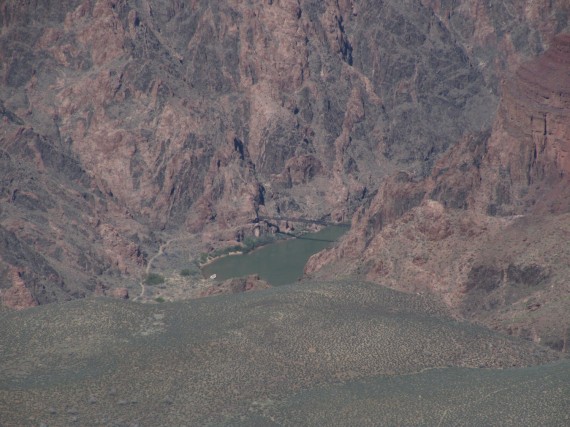
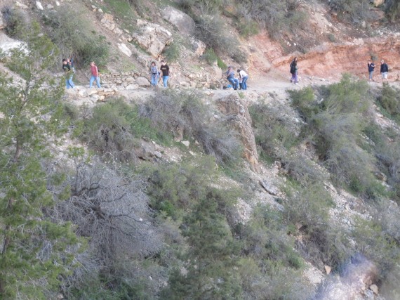
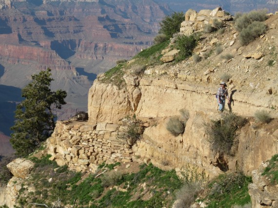
The most popular trail into the canyon begins west of the Bright Angel Lodge on the South Rim. The trailhead elevation is 6,785 feet and descends 4,380 feet to the Colorado River. The Bright Angel Trail offers wonderful views all along the trail. It has an average grade of 10% along its entire length. At trail’s end, the River Trail continues another 2 miles to the Bright Angel Campground and Phantom Ranch.
Hazards hikers can encounter along the Bright Angel Trail include dehydration, sudden rainstorms, flash flooding, loose footing, bootpacked ice, rockfall, encounters with wildlife, and extreme heat. At the Colorado River, additional hazards include hypothermia (due to the river’s consistently cold temperatures), trauma (due to collisions with boulders in rapids), and drowning.
We decided to walk for just a half-hour down the trail.
Grand Canyon Family Photographs
Click on the links to view the family pictures shot at the Grand Canyon.
- Derek, Sarah, and Bryson on the Bright Angel Trail
- Bryson and Jake at the Grand Canyon
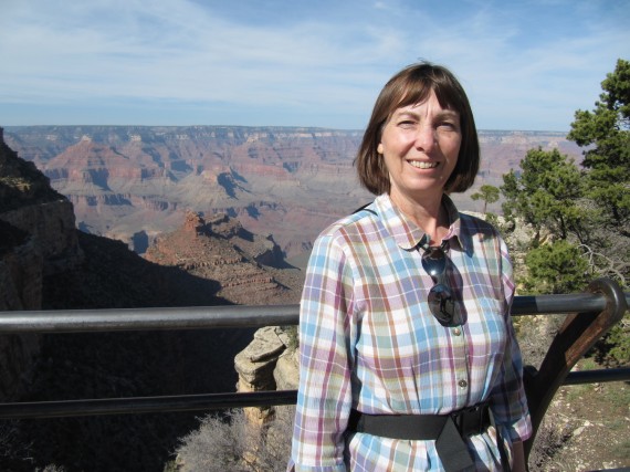
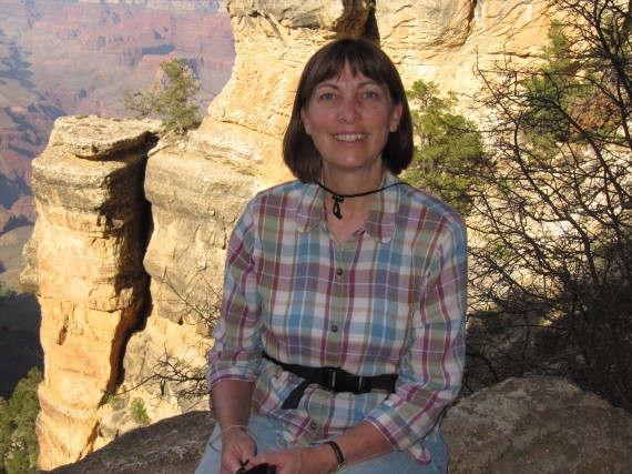
- Jill at the South Rim
- Paul, Derek, Bryson, Sarah, and Jill on the Bright Angel Trail
- Paul at the Grand Canyon
- Paul and Jake at the South Rim
- Jill looking up on the Bright Angel Trail
- Derek, Sarah, Jake, Bryson, Paul, and Jill on the Bright Angel Trail
- Rick at the start of the Bright Angel Trail
- Bryson at the motel
Sources
- National Park Service Grand Canyon brochure
- National Park Service Grand Canyon Guide & Maps
- Wikipedia Bright Angel Trail



Those photos are excellent, what camera are you using?
I can feel the extreme heat, good thing you guys can still smile, and it’s beautiful.
Canon Powershot SX200 IS